Point cloud processing needs to reflect how the data was captured, what the project requires and how the resulting dataset will be used.
I’m Roland Kriston, a Reality Capture & Geospatial Specialist working across point cloud processing and the wider reality capture workflow.
I work remotely with surveying companies, reality capture teams, geospatial specialists and engineering organisations on projects where additional point cloud processing capacity or specialist technical input is needed.
Point Cloud Processing Support
I can work with existing datasets as an independent specialist or as additional processing capacity within an established project team.
Depending on the project, support may include:
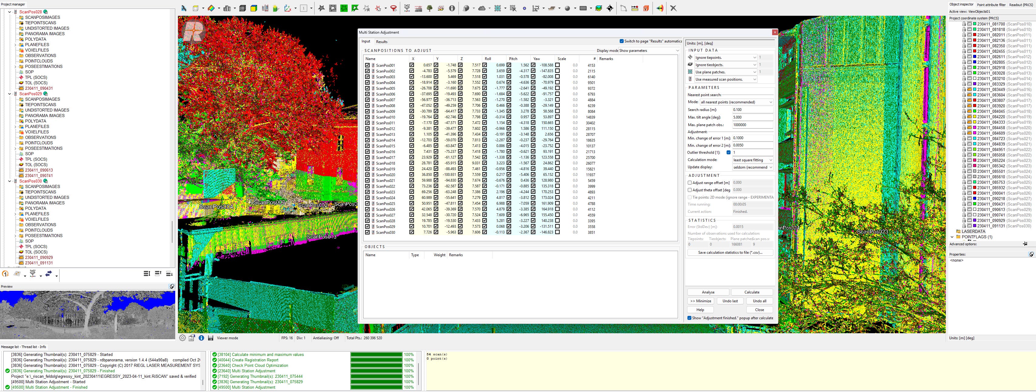
point cloud registration and alignment
georeferencing and coordinate handling
cleaning and dataset optimisation
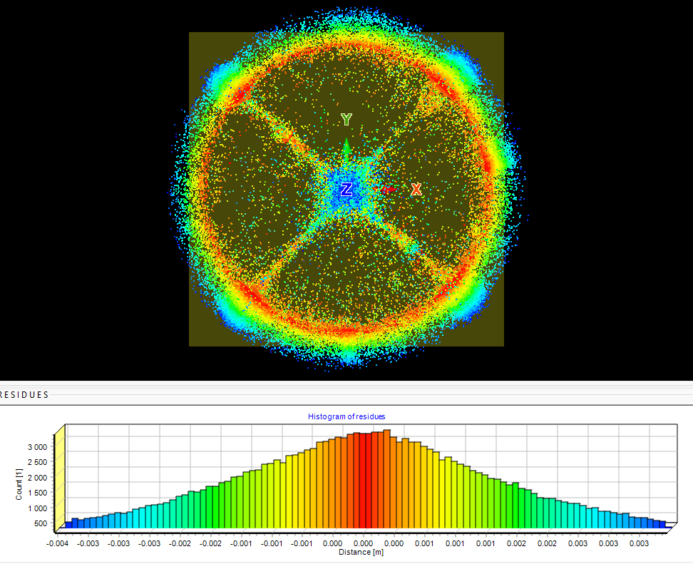
quality control and data validation
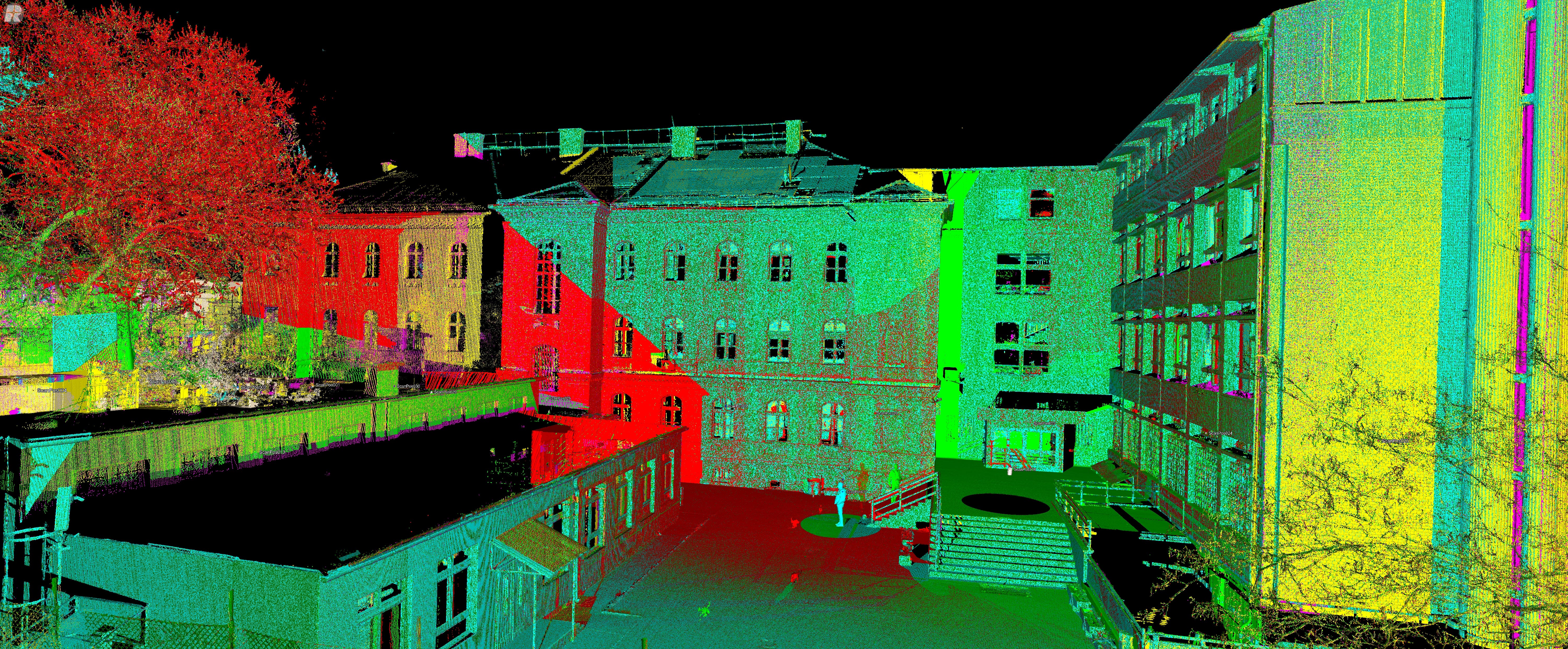
point cloud organisation and classification
processing and workflow troubleshooting
preparation of project-ready datasets
export and delivery preparation
The exact workflow depends on the source data, project requirements and intended use of the result.
When Additional Processing Expertise Is Useful
Sometimes the requirement is straightforward: a defined dataset needs to be processed.
In other cases, additional specialist input becomes useful because the dataset is large or complex, the existing workflow is not producing the expected result, internal processing capacity is limited, or a project requires experience beyond the team’s usual workflow.
I can support:
Defined processing tasks
A specific processing stage or dataset that needs to be completed.
Additional project capacity
Remote processing support when an existing team needs additional specialist resource.
Complex or problematic datasets
Projects where registration, data quality, coordinate systems, dataset structure or other processing issues need to be resolved.
Workflow development and troubleshooting
Reviewing how the data moves through the processing workflow and identifying a more appropriate approach where necessary.
🟠 More Than Processing
Understanding the field acquisition behind a dataset matters.
Capture method, site conditions, coverage, geometry, control, accuracy requirements and intended deliverables can all affect what is possible during processing.
My experience spans the reality capture workflow from field acquisition through point cloud processing, QA/QC and preparation of spatial data for further use.
That end-to-end perspective makes it possible to look beyond an isolated software operation and consider the dataset in the context of the project it belongs to.
The objective is not simply to process the data. It is to make the data work for the project.
🟠 Remote Point Cloud Processing
Point cloud processing can be provided remotely for projects regardless of where the data was captured.
The scope can range from a single defined task to ongoing processing support within a larger project or team.
Before starting, the key questions are straightforward:
What data do you have?
What needs to be done with it?
What does the resulting dataset need to support?
From there, the appropriate scope and workflow can be defined.
Related Services & Work
Reality Capture Support →
Specialist input for workflows, QA/QC, troubleshooting, technical review and field acquisition.
Project Collaboration →
Flexible specialist involvement in larger or ongoing reality capture projects.
Projects →
Selected project case studies showing real workflows, technical decisions and outcomes.
Contact
Have a point cloud dataset that needs processing, review or additional specialist capacity?
Send a short description of the dataset, the current project stage and what you need to achieve.